site.btaJuly 16, 2007: Bulgaria Opens Its First Remote Sensing Centre

Seventeen years ago today, Bulgaria opened its first remote sensing centre. With its near real-time capabilities to monitor a natural disaster as it evolves, it was designed to support forecasting and risk assessment processes, significantly reduce the time needed to make the right decisions for management and response, improve coordination between competent authorities involved in the Single Rescue System. Disaster visualization makes it easier to assess the magnitude of a disaster, its potential and actual damage.
Here is BTA's story about the event in the English Service:
Bulgaria's First Remote Sensing Centre Inaugurated
Sofia, July 16, 2024 - Bulgaria's first remote sensing centre was inaugurated at the Civil Protection National Service building on Monday.
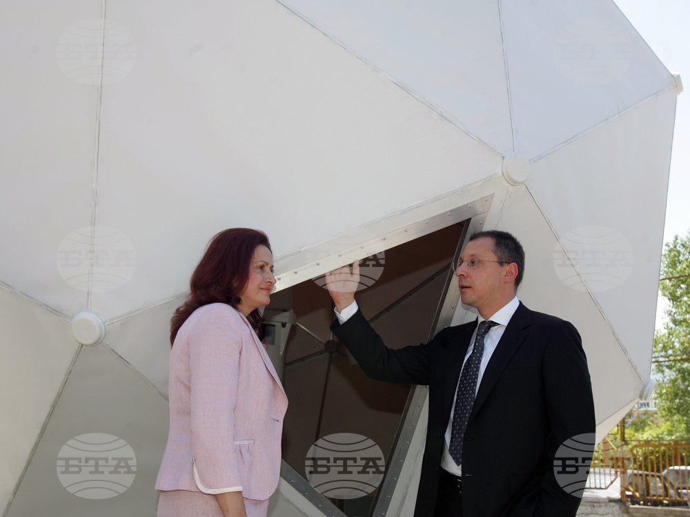
The ribbon was cut by Prime Minister Sergei Stanishev and Deputy Prime Minister and Disaster Management Policy Minister Emel Etem.
"The system will provide prompt information on flooding and fires both in Bulgarian territory and in neighbouring countries which pose a risk to this country," Etem said. She noted that the system does not provide information on earthquakes.
The national system will be used by all state structures, including the ministries of environment, economy, and agriculture and forestry.
The remote sensing centre is equipped with seven workstations and will receive and process satellite data for real-time control in emergencies within the national territory and the region. It will help the forecasting, early warning and monitoring of natural disasters and accidents on a countrywide scale. The centre makes it possible to locate the outbreak and follow the development and control of field and forest fires, landslides, snow and ice thaw, monitoring of forests and vegetation, assessment of timber loss, the state of the earth cover, vegetation, soil humidity and erosion, the water space of the Black Sea, the coastal area and air pollution.
The information feed will allow the making of correct management decisions in the event of crises, natural disasters and industrial accidents and will help determine the risk and the damage in emergency situations and the effectiveness of recovery efforts.
The operation of the centre will be of particular importance for improvement of the effectiveness of Government direction, coordination and control for the prevention, mitigation and elimination of disasters and accidents in Bulgaria and will make it possible to integrate Bulgaria into the European Information System.
/NF/
news.modal.header
news.modal.text